
Utility Mapping & Topographical Surveys for Active Travel Scheme, Salford
2026
Utility Mapping & Topographical Surveys for Active Travel Scheme, Salford
Client: AE Yates and Salford City Council
Project Overview:
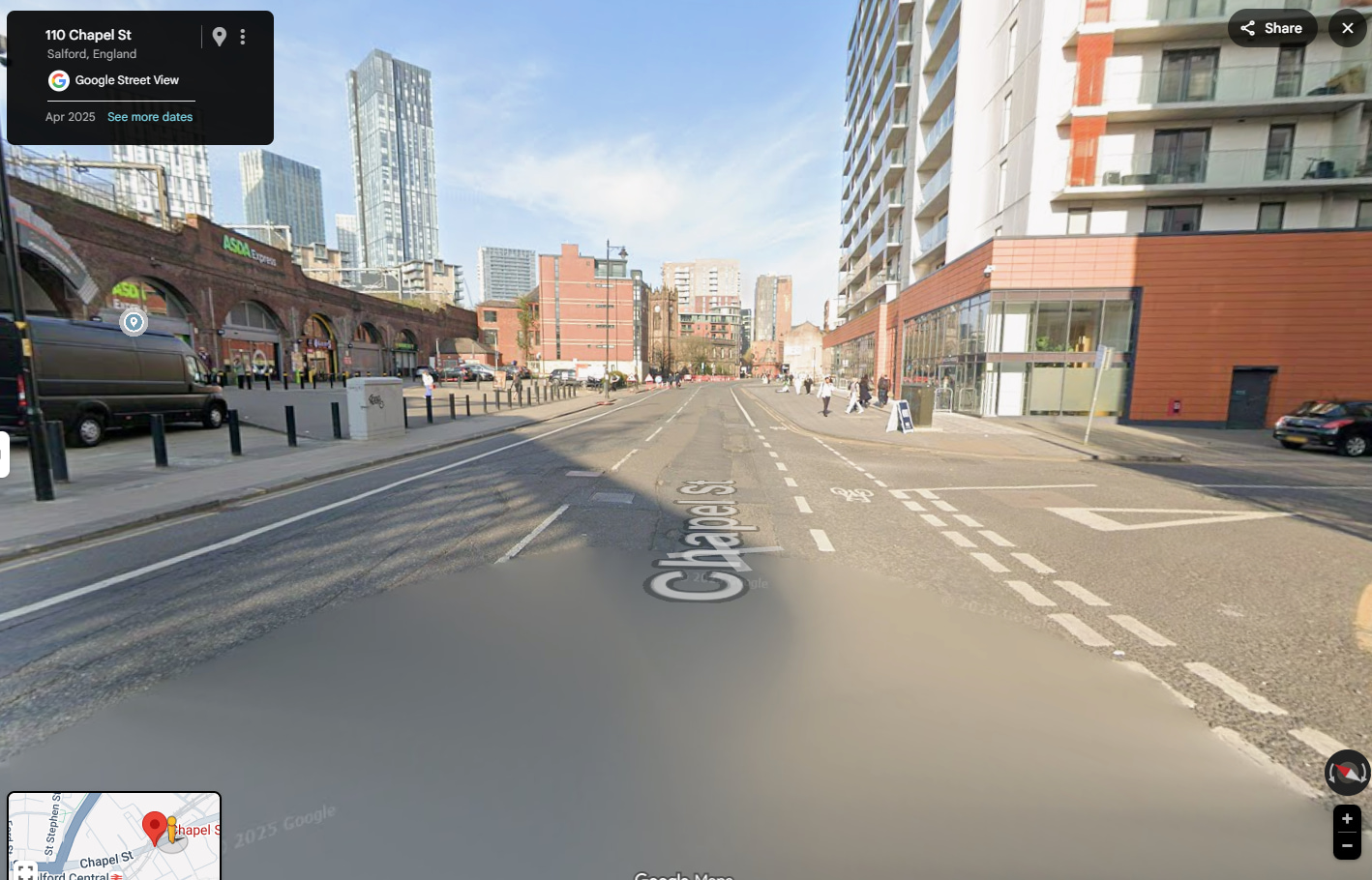
Malcolm Hughes was appointed at the outset of the Chapel Street Active Travel Scheme to provide comprehensive underground utility mapping and detailed topographical survey services in support of this high-profile city centre project.
Delivered by AE Yates on behalf of Salford City Council, the scheme formed a key part of the city’s wider active travel strategy, aimed at improving connectivity, sustainability, and public realm along one of Salford’s busiest transport corridors.
Our Role / Deliverables:
- PAS 128 compliant underground utility mapping to accurately identify and locate existing buried services
- Detailed topographical surveys to inform design, construction planning, and traffic management
- Early-stage data to support service diversion planning and clash avoidance
- Accurate, reliable information to enable confident decision-making across the project team
Our survey deliverables enabled the safe and efficient delivery of a wide range of works, including:
- Service diversions
- Installation of new cycleways
- Traffic signal upgrades and new installations
- Kerbing and paving improvements
- Street lighting upgrades
- Traffic sign upgrades
- Carriageway resurfacing and new road markings
- New tree pits and landscaping areas
Challenges
- Busy city centre location with heavy pedestrian and vehicle movement
- Congested underground utility environment
- Tight programme constraints
- Requirement to minimise disruption, particularly during the Christmas period
Our early involvement ensured potential clashes and constraints were identified before construction commenced, significantly reducing risk on site.
Outcome
Through strong collaboration between Malcolm Hughes Ltd, AE Yates, and Salford City Council supported by robust, high-quality survey data the scheme was completed four months ahead of programme and within budget.
Early-stage utility mapping and topographical surveys played a vital role in:
- De-risking the construction phase
- Supporting coordinated service diversions
- Maintaining programme certainty
- Minimising disruption to businesses and the public
- Upholding high standards of safety and quality
Added Value
This project demonstrates how investing in accurate underground utility mapping and topographical surveys at project inception can:
- Reduce unforeseen ground risks
- Improve coordination across multidisciplinary teams
- Accelerate delivery on complex urban infrastructure schemes
- Provide measurable programme and cost certainty
The Chapel Street Active Travel Scheme stands as a strong example of how early, data-led decision-making supports successful infrastructure delivery in challenging city centre environments.
If you’re planning a scheme in Salford, Manchester or anywhere across Greater Manchester, speak to our team about how our underground utility and topographical survey services can support safe, efficient and accelerated delivery.
Get in touch today to discuss your project requirements.

