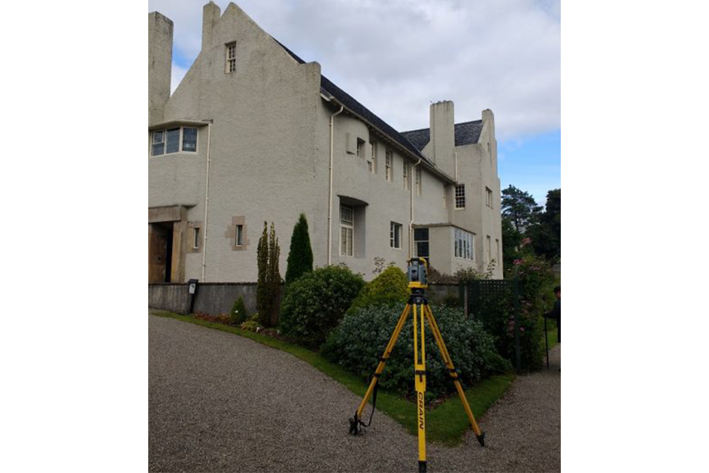
Trialing the Trimble SX10 at The Hill House

2021-01-18T09:36:09+00:00July 25th, 2017|3D Scanning, Ogilvie Group|

The SX10 enables the capture of both high-accuracy measurements critical for traditional survey projects and rich point cloud data at 26,600 points per second with a range of up to 600 meters. This means surveyors can include 3D scanning as part of everyday workflows, dramatically increasing productivity for topographic surveys,

Structure Profiles on Britain’s Railways

2021-01-18T09:35:50+00:00July 17th, 2017|Railway|

Malcolm Hughes surveyors using a trolley mounted laser scanner to produce Structure Gauging profiles. Using this system allows for the capture of large amounts of data in a short space of time – essential when working on the railways. The track geometry cab be included as part of topographical surveys

CPD seminars to your business

2021-01-18T09:34:26+00:00July 6th, 2017|Professional, Staff|

Matt Parkinson, Survey Manager at Malcolm Hughes Land Surveyors pictured above, recently presented a CPD seminar to an architectural practice in Edinburgh Malcolm Hughes Land Surveyors provide regular CPD presentations across the UK to various organisations. The presentation includes details of all the types of measured surveys that can be

Go to Top