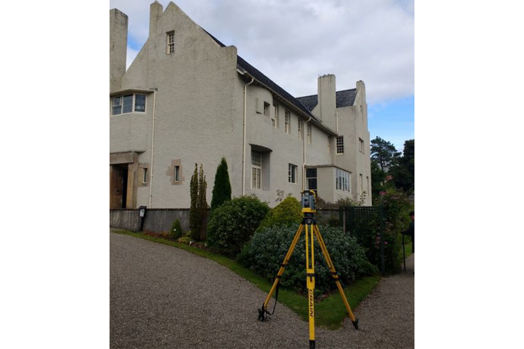
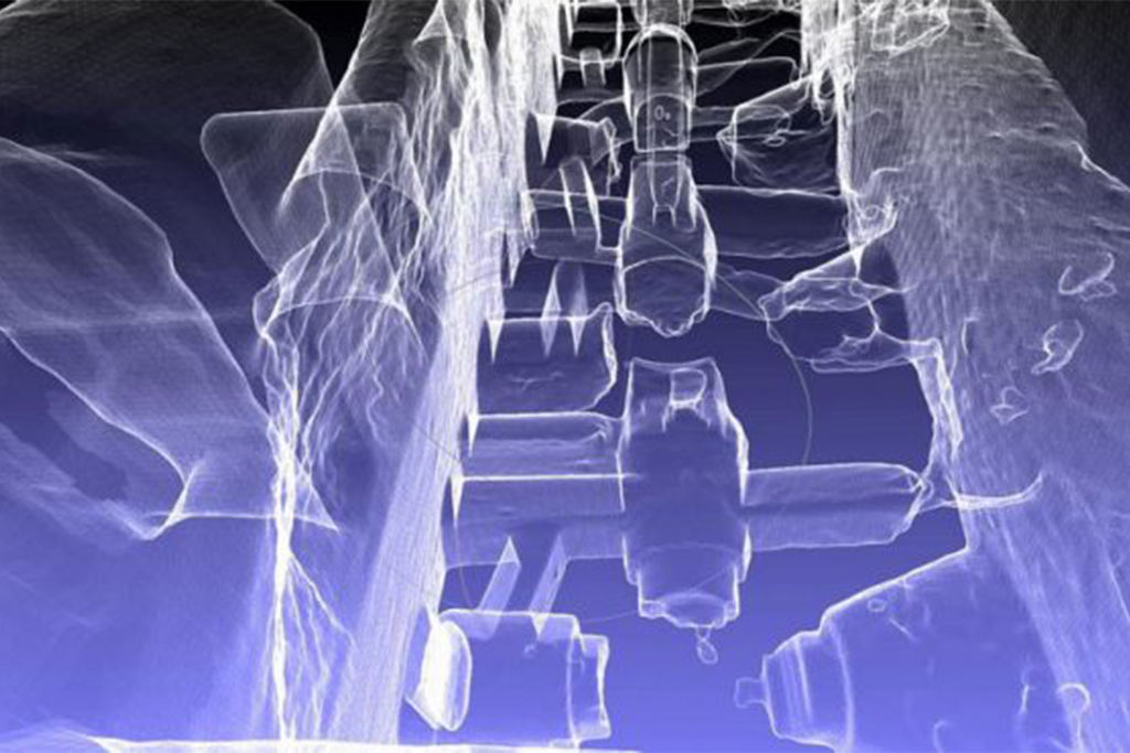
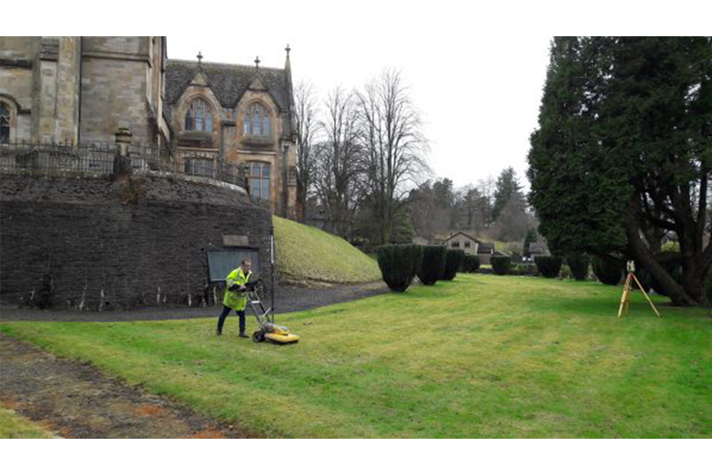
Ground Penetrating Radar used on Inverclyde cemetery

2021-01-18T09:26:10+00:00April 12th, 2018|3D Scanning, Laser Scanning, Topographical, Underground|

Malcolm Hughes Land Surveyors have been undertaking works at a cemetery in Inverclyde in an attempt to identify buried grave stones and individual grave plots using Ground Penetrating Radar (GPR). Our surveyors used a dual frequency GPR system to undertake the survey which on its own gives excellent detection capabilities.

Trialing the Trimble SX10 at The Hill House

2021-01-18T09:36:09+00:00July 25th, 2017|3D Scanning, Ogilvie Group|

The SX10 enables the capture of both high-accuracy measurements critical for traditional survey projects and rich point cloud data at 26,600 points per second with a range of up to 600 meters. This means surveyors can include 3D scanning as part of everyday workflows, dramatically increasing productivity for topographic surveys,

Laser scanning at Cyfartha Ironworks

2021-01-18T09:34:40+00:00October 24th, 2016|3D Scanning, Laser Scanning|

Cyfartha Iron Works in South Wales were founded in 1765, and by 1806 had become the largest in the world. Currently large portions of the original enormous complex that formed the ironworks remain intact today; this includes six of the original blast furnaces. The structure is important due to the

Go to Top