Non-Destructive Testing & Geophysical Surveys
STRUCTURAL AND GEOTECHNICAL MONITORING SERVICES
Accurate, non-invasive investigation of structures and subsurface conditions.
Non-Destructive Testing (NDT) and geophysical surveys employ advanced, non-invasive techniques to assess multiple features of a project without having to cause physical damage. This is the best method for checking the condition and structural integrity of materials. By accurately detecting internal corrosion, voids, structural weaknesses, and hidden defects, these surveys allow infrastructure to remain operational during inspection.
Our NDT solutions provide the high-resolution subsurface data required to protect your project timelines and satisfy regulatory standards. It's the smartest way to mitigate risk across brownfield developments, infrastructure projects, asset management and more.
What is Non-Destructive Testing & geophysical surveys?
While NDT and geophysical surveys have a range of differences, they share a common goal: providing a clear and accurate picture of the interior of a material without causing a single footprint of damage.
Non-Destructive Testing
The process of inspecting and evaluating materials, components, or structural integrity without causing any physical damage to the asset. This method is used for built structures.
Geophysical surveys
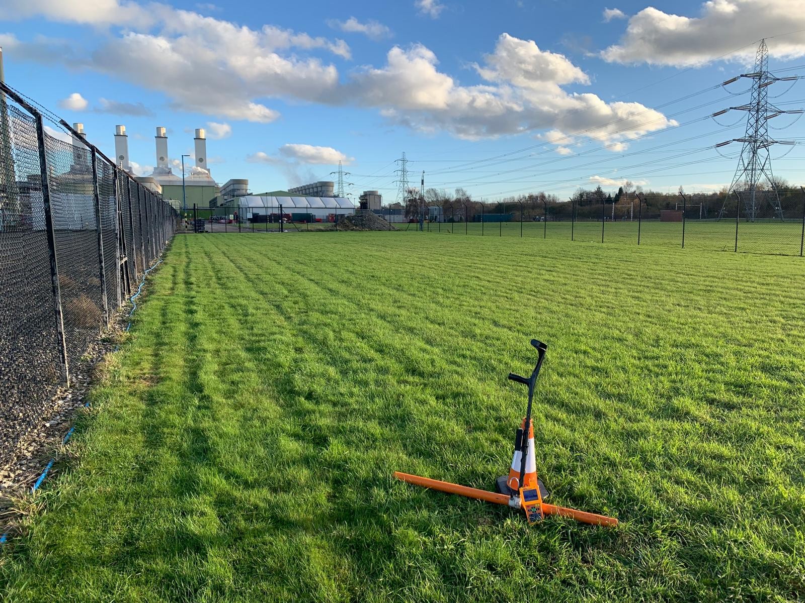
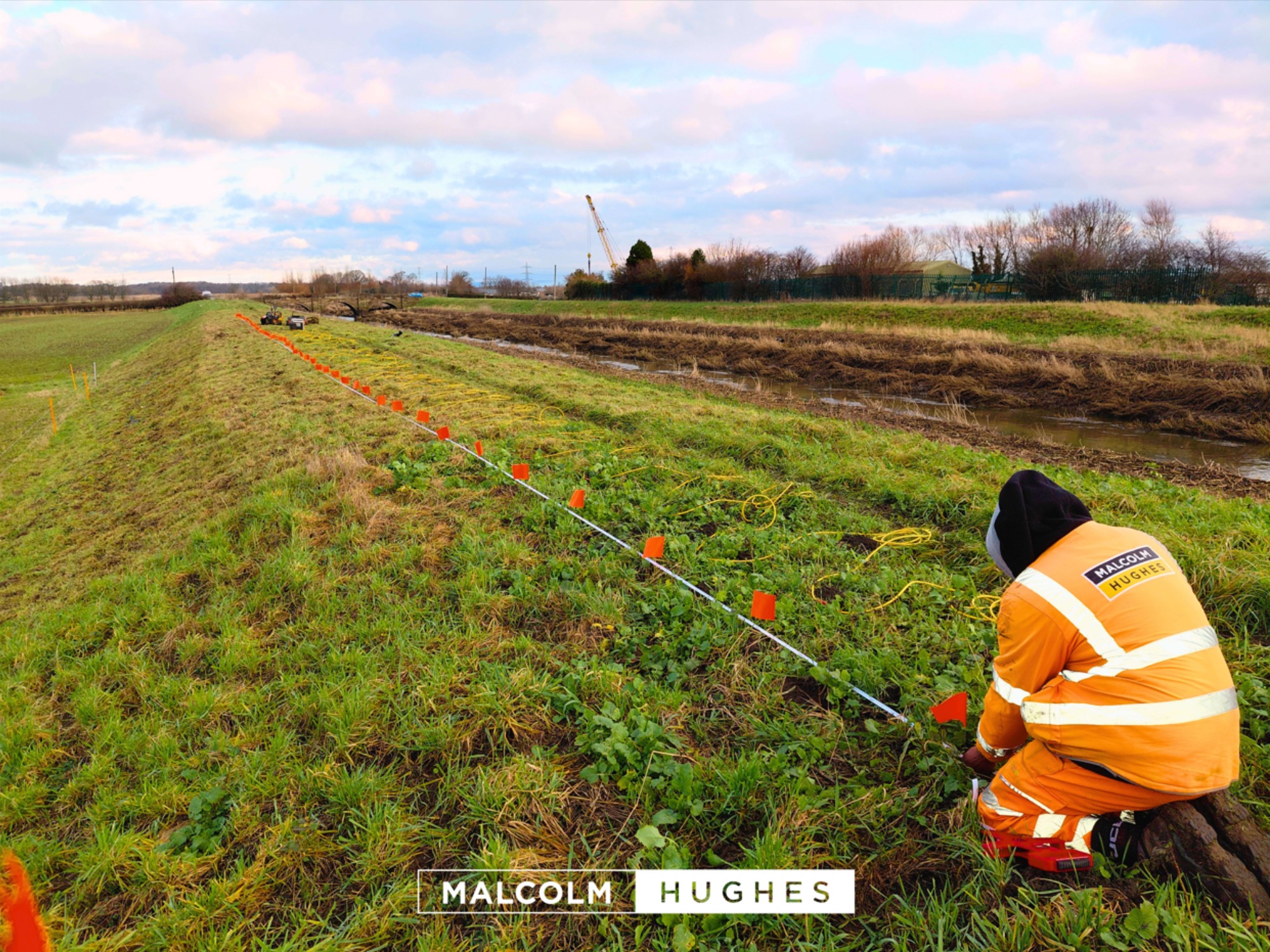
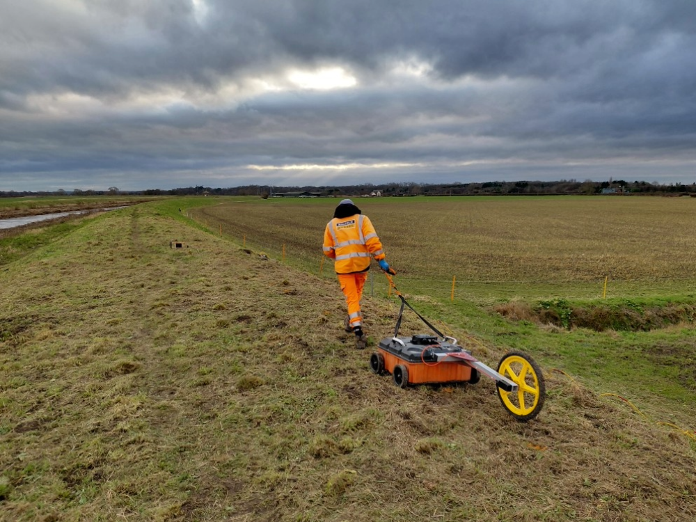
The investigation of subsurface ground conditions and buried features using advanced physical measurement techniques from above the surface. This method is used for assessing below-surface conditions.
How do these methods work together?
Despite targeting different areas of a site, the cross-over lies in the advanced technology used. Tools used in one method can often be found in the other.
Our non-destructive approaches significantly reduce overall project risk. This significantly reduces costly delays, design revisions, and unexpected ground condition claims. A proactive approach ensures unrivalled safety on-site, accurately locating hidden hazards, voids, or structural weaknesses before any kind of disruptive work takes place and this protects both your teams and the surrounding infrastructure.
Why choose Non-Destructive Testing?
Choosing non-destructive and geophysical methods allows you to gather accurate site data without the financial and physical consequence of traditional techniques. Here is how our surveys add value at every stage of your project lifecycle:
Our services
To deliver a comprehensive understanding of your site, we divide our expertise into targeted, specialised sub-services. This ensures you get the precise data required for your specific environmental or structural challenges.
Subsurface & geophysical surveys
Geophysical surveys offer a rapid, non-invasive means of mapping the ground beneath your feet. By measuring the physical properties of the Earth, we provide critical insights that de-risk excavation and streamline engineering design.
Common applications include:
Our advanced techniques include:
Structural Non-Destructive Testing (NDT)
When you need to verify the internal condition of a building or infrastructure asset, our structural NDT methods remove any element of guessing. We provide highly accurate, internal imaging of concrete, masonry, and steel elements without compromising their structural integrity.
Our advanced NDT methods include:
- Ultrasonic Testing (UT) uses high-frequency sound waves to measure concrete thickness and pinpoint internal flaws such as honeycombing, voids, and delamination.
- Ferroscanners & cover metres employ advanced electromagnetic induction to map reinforcement bars, accurately estimating rebar size and the depth of concrete cover.
- Ground Penetrating Radar (GPR) delivers continuous structural imaging to map rebar layouts, locate post-tension cables, track underfloor heating pipes, and define hidden foundation dimensions.
Where our surveys are used
Our non-destructive testing and geophysical surveys provide critical insights across a diverse range of sectors. We secure three matters at every stage of development: efficiency, safety, and compliance.
Why choose Malcolm Hughes for NDT & geophysical surveys?
When sub-surface or structural uncertainty isn't an option, Malcolm Hughes delivers clarity and confidence. As RICS-chartered land surveyors, we combine decades of geospatial expertise with continuous investment in the latest non-destructive field equipment. This technical foundation ensures absolute site precision and professional interpretations that are directly actionable for your engineering teams.
Operating from regional hubs across England, Scotland, and Wales, we provide true nationwide coverage and rapid mobilization. Our teams deliver a consistent, gold-standard survey capability anywhere in the UK, regardless of project scale.
Above everything, we're committed to safety and accuracy. Choosing Malcolm Hughes means partnering with a proven national expert dedicated to precision and comprehensive project support from start to completion.

Related Case Studies
M62 Embankment Monitoring
Malcolm Hughes supported National Highways when they had concerns along a section of the M62 and sought a less disruptive, safer, monitoring solution. The highways team delivered a highly accurate monitoring solution.
Bridgewater Canal Aquaduct Monitoring
Malcolm Hughes has been commissioned to carry out long-term structural monitoring at Barfoot Aqueduct. Implementing a bespoke monitoring solution designed to detect and track any gradual structural movement, deformation or settlement over time.