GPR SURVEYS
Ground Penetrating Radar
What Is GPR?
Ground Penetrating Radar (GPR) is an immensely versatile piece of kit and is used in a variety of different applications within surveying. It uses electromagnetic radar pulses to image materials in the ground and works best in areas with high contrast in electromagnetic properties between the ground and the objects being surveyed. For this reason it is brilliant at detecting metallic objects and is commonly known for detecting underground utilities. This page will showcase the extra applications of a GPR other than just utility detection so you have a better understanding of its capabilities.
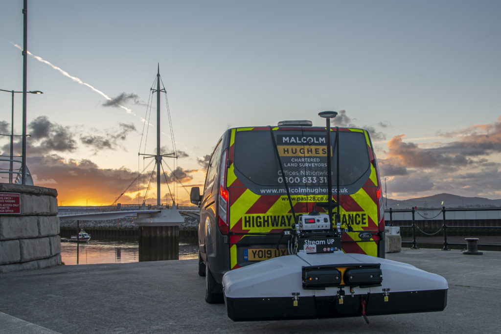
The radar pulses created from a GPR are able to travel through many materials, including soil, concrete, rock and water. As a company we hold a variety of different GPR’s to tailor to different situations. Most units are pushed by hand however specialist GPR’s such as the Leica IDS Stream Up are vehicle mounted for quick data recording in larger areas. This versatility means we can GPR Survey pretty much any area, in any condition.
Common things we can find and measure with GPR
All of the able come with an interpretive report to give you a breakdown of what we have found and how to read your results.
Crossovers with PAS128 Specifications
GPR is used in underground utility surveys to PAS128 standards, however when not looking for underground utilities, there are still some crossovers. PAS128 is able to define how often a survey is looked for and plotted and these grid methods are transferable over to a geophysical survey.
We recommend you keep the “M” table to hand when defining your GPR survey, for example: if you are looking for small objects underground an M4 survey will be the most efficient, however if you are looking for large void where a septic tank may be, you could instead specify an M2 survey. Please click the button below to view the PAS128 webpage for the relevant table.
Deliverables for a GPR Survey
There are several deliverables for a GPR Survey depending on your needs. The most common are:
Cross Sections
Depth Slices
Isosurfaces
Depth Grids
Amplitude Grids
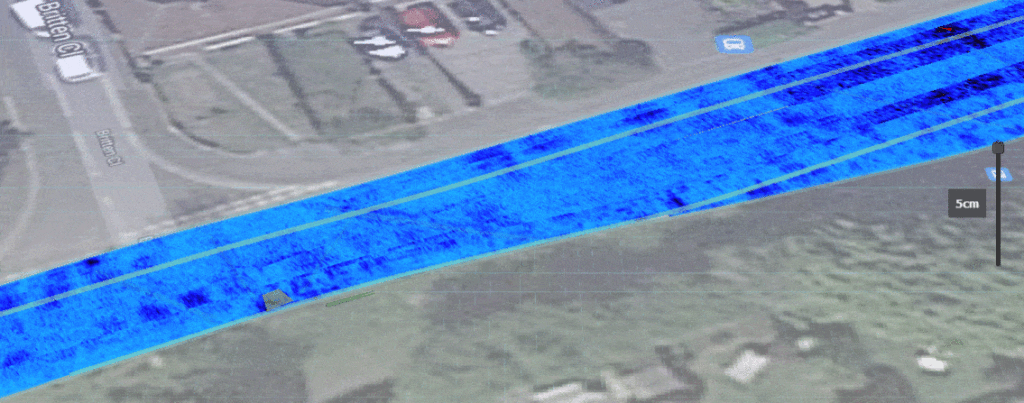
Overlays onto Topographic Surveys

IDS Stream-Up
We are proud to own an IDS Stream-Up. This vehicle mounted , multi channel, multi frequency and dual polarisation GPR if a fantastic addition to the normally hand pushed GPR units.
It allows us to collect large quantities of high quality data at driving speed, usually around 30 miles per hour. This negates the need for traffic management and can provide a huge cost saving on larger scale Highways projects.
If used in conjunction with our existing hand pushed IDS Stream-C high density radar array system, we can now offer clients up to 100% GPR coverage of an area.


