Utility Mapping in Glasgow

2021-01-18T09:26:15+00:00March 26th, 2018|Photos in the Field, Underground|

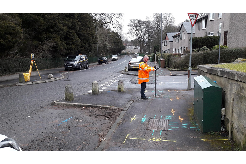
This week Malcolm Hughes have been working in Glasgow undertaking utility mapping surveys in various locations to aid the design of road improvements. Each survey location was surveyed using both Electromagnetic Location (EML) and Ground Penetrating Radar (GPR) technologies and the survey methodology was undertaken to our standard specification which

40 Years In Surveying

2021-01-18T09:26:26+00:00February 28th, 2018|Hydrographic, Photos in the Field, Staff, Topographical|

William Montgomery, Malcolm Hughes Surveyor. Today sees the retirement of William Montgomery, a surveyor at Malcolm Hughes for over thirty years and over forty years in the surveying industry. Below he shares his knowledge of how the industry has developed and what instrumentation was used through the decades.

Stunning views in the Highlands

2021-01-18T09:26:37+00:00February 20th, 2018|Photos in the Field, Topographical|

Following on from last weeks post, here are some more stunning views of the Highlands during another project for client. Photos are courtesy of Vincent O'Kane. To learn more about how Malcolm Hughes can help you, contact us at surveythis@mhls.co.uk or visit our services page for more information.

Go to Top