William Montgomery, Malcolm Hughes Surveyor.
Today sees the retirement of William Montgomery, a surveyor at Malcolm Hughes for over thirty years and over forty years in the surveying industry. Below he shares his knowledge of how the industry has developed and what instrumentation was used through the decades. All of the Malcolm Hughes team wish you the very best in retirement.
Forty Years in Surveying – William Montgomery BSc, MRICS, MInst CES
I first started surveying in the 1970’s and since then survey methods and instrumentation have developed simultaneously with technological advances. What follows is a very brief summary of the instrumentation used in the decades since the 70’s but also what the typical land/hydrographic surveyor was doing.
1970’s
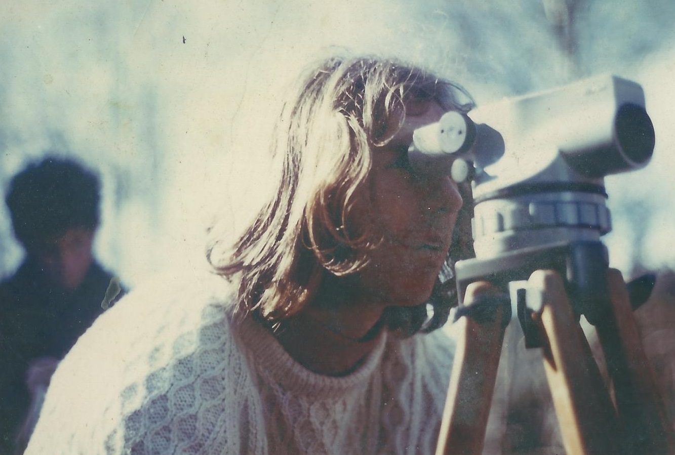
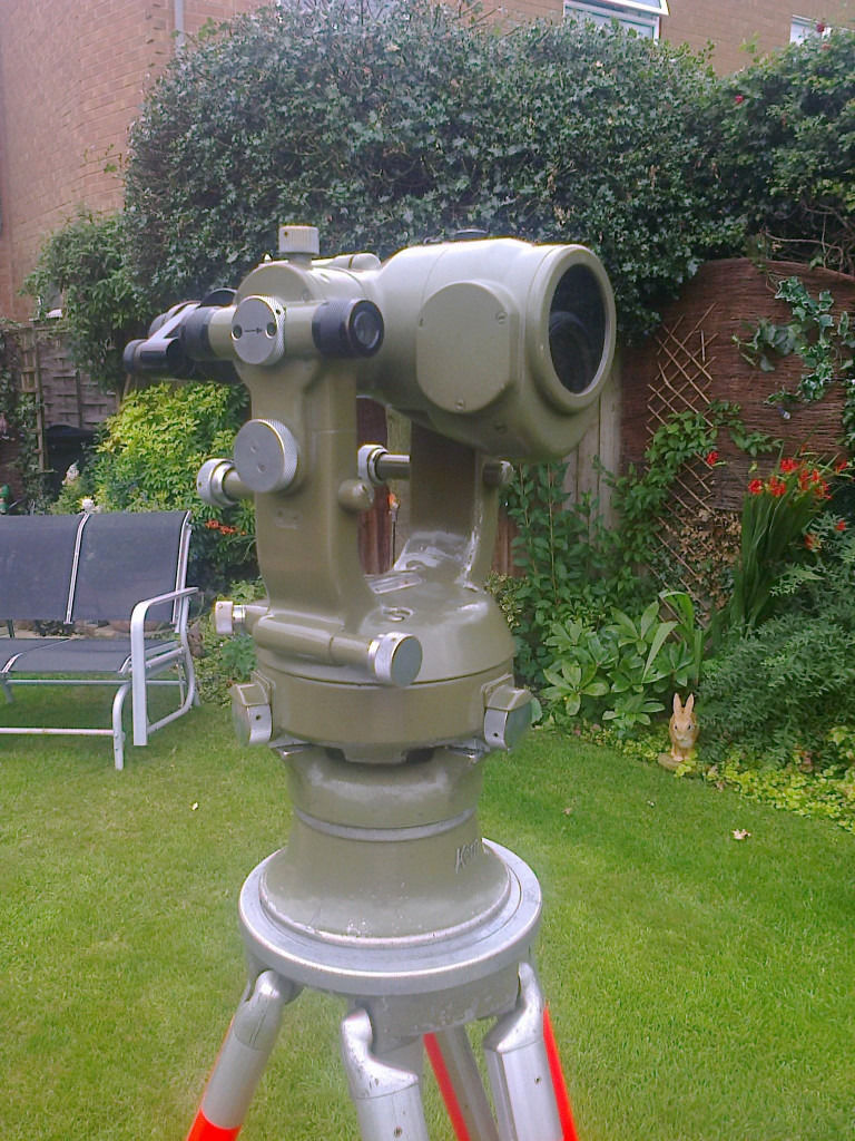
This was the decade for big hair and handlebar moustaches. Harold Wilson, Ted Heath, James Callaghan & Maggie Thatcher were the Prime Ministers. Scotland qualified for the World Cup in 1974 and 1978. I seem to remember using punch cards for computer instructions, so electronically everything was pretty basic. Smartphones were big red boxes that still had the windows intact and didn’t smell. This was the decade for major oil developments in Scotland, so it was off to Sullom Voe and exotic destinations like Libya (brilliant suntan), Iran and Nigeria. The instrumentation was generally Wild T2 theodolites with mounted on it the Distomat DI10 EDM. Other distance measuring equipment I used included the Tellurometer (a long range two man instrument with which it was possible to phone between the two instruments plus it had lots of twirly bits) and even a subtense bar (for the younger reader, google it) . Topographic mapping was done using self-reducing tacheometers such as the Kern DK RT or the Wild RDS. The recording was done manually ie. pen/pencil and paper, while wet days generally meant a retreat to the nearest bar as it was too wet to write.
1980’s
The 80’s in the UK were the decade of Maggie Thatcher, the miners’ strike and the Falklands War. Scotland qualified for the World Cup in 1982 and 1986. Electronically things were starting to move as the PC arrived along with the ghetto blaster and the Walkman. I spent the first five years of the decade in Saudi Arabia spending two years as an inshore hydrographic surveyor.
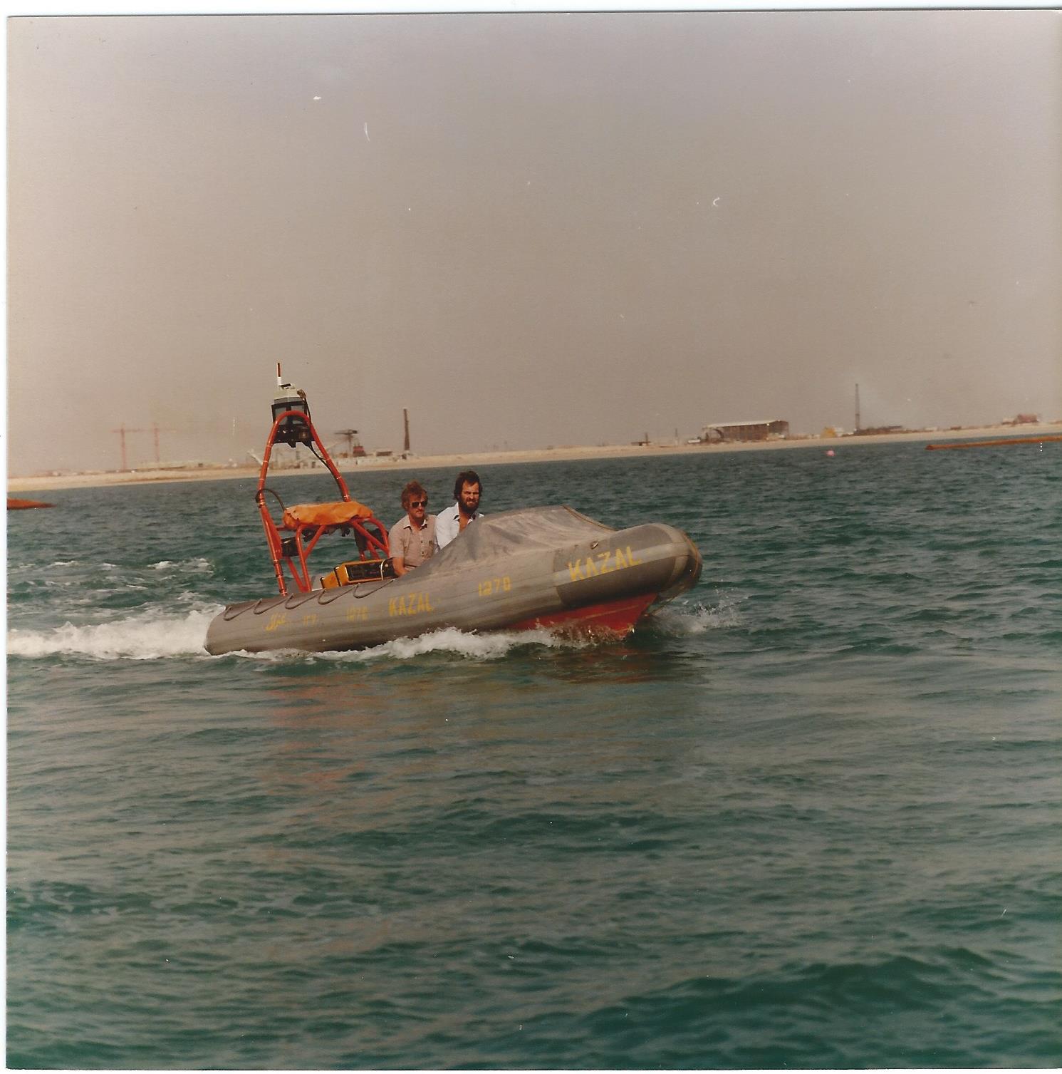
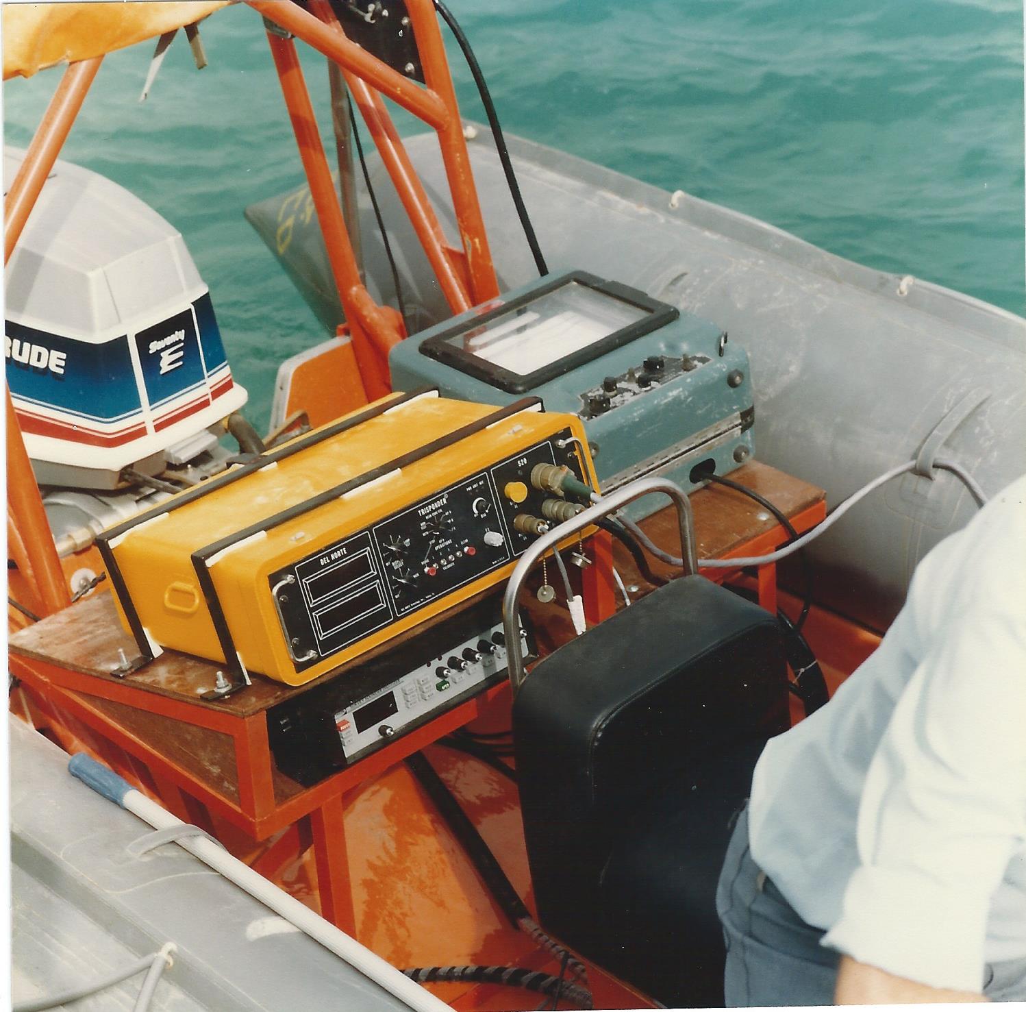
The RIB I used was equipped with a Del Norte Trisponder and a Raytheon Echo sounder complete with paper trace. GPS systems that were suitable for everyday survey hadn’t yet arrived. Ashore, instruments were progressing as Wild (Leica) introduced the Wild TC1000 an electronic tacheometer. Geodimeter (Trimble) followed suit with the system 400 recording on the geodat, better known as the brick (we later used a Husky Hunter recorder which tied in with the Eclipse software we were using). I joined Loy Surveys in 1986 and it was the Geodimeter 400 system Jim was using along with Eclipse survey software.
The survey codes were sent to the assistant at the instrument via walkie-talkie radios. The geodat generally held about a days’ worth of observations and this was downloaded every evening onto a mini cassette tape. In the office the data was transferred into the desktop for processing. The Eclipse system used two fairly large screens, one for text, the second for graphics connected to a desktop computer. Not the most portable of set ups although I can remember transporting the complete set up plus survey assistant, plus land survey kit, plus hydro kit to a B&B in Yell, one of the Shetland Islands. The car was packed to the gunnels. The final drawing was plotted out on film and for the few progressive clients a floppy disc was also dispatched. None of your fancy email or Dropbox then!
1990’s
This decade saw the Gulf War, the Manchester bombing followed by the Good Friday agreement. The Prime Ministers were initially Maggie Thatcher followed by John Major and Tony Blair. Scotland qualified for the 1990 and 1998 World cups,the performances were just starting to wobble a bit. Technology had progressed in the market place to give the CD and mobile phone which could actually fit in your pocket. Desktops were recognisable by today’s standard as were laptops. The internet including email which in 1993 saw only 1% of two-way telecommunications grew to carry 51% by 2000. The GPS constellation of satellites was fully operational in 1995.
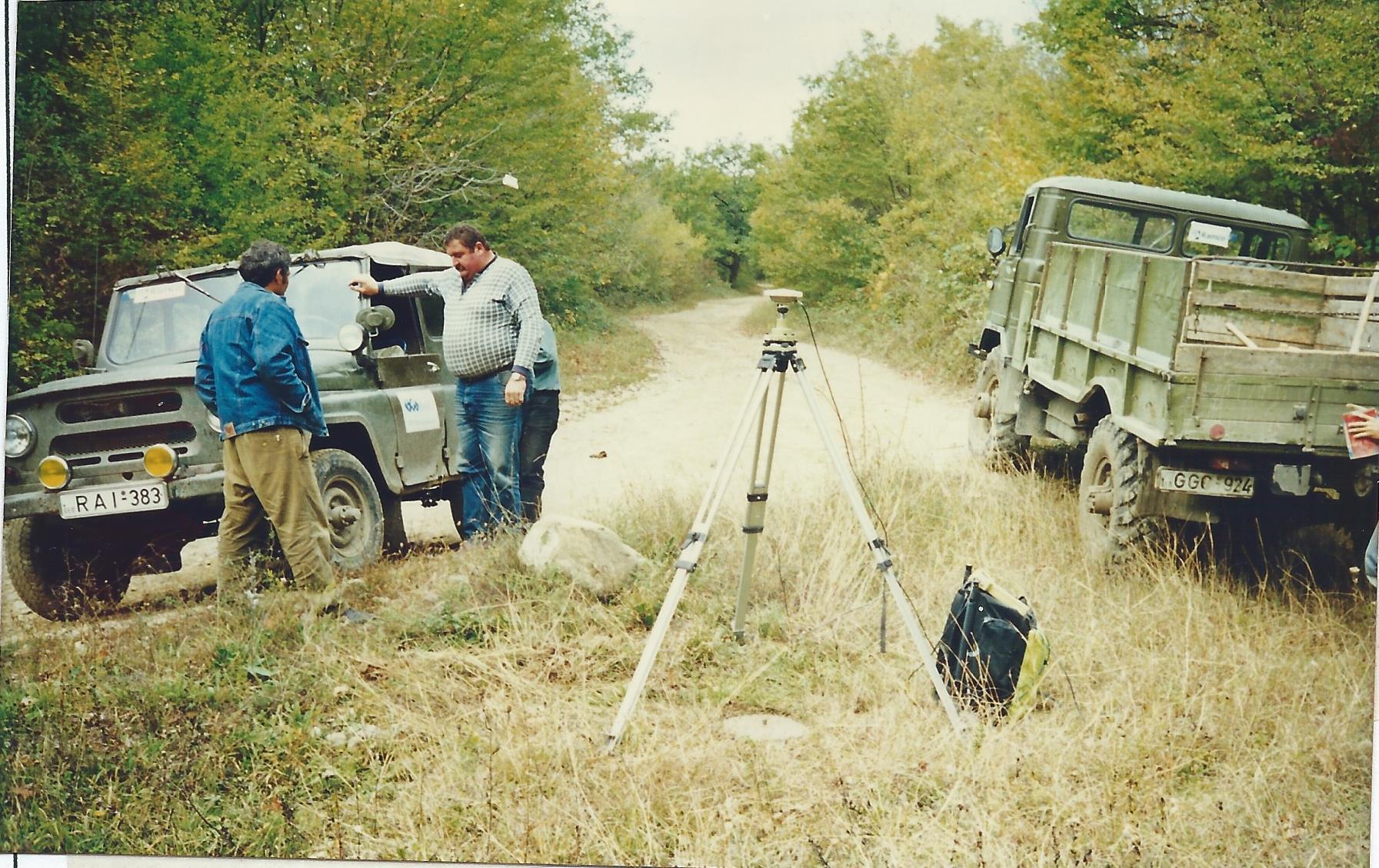
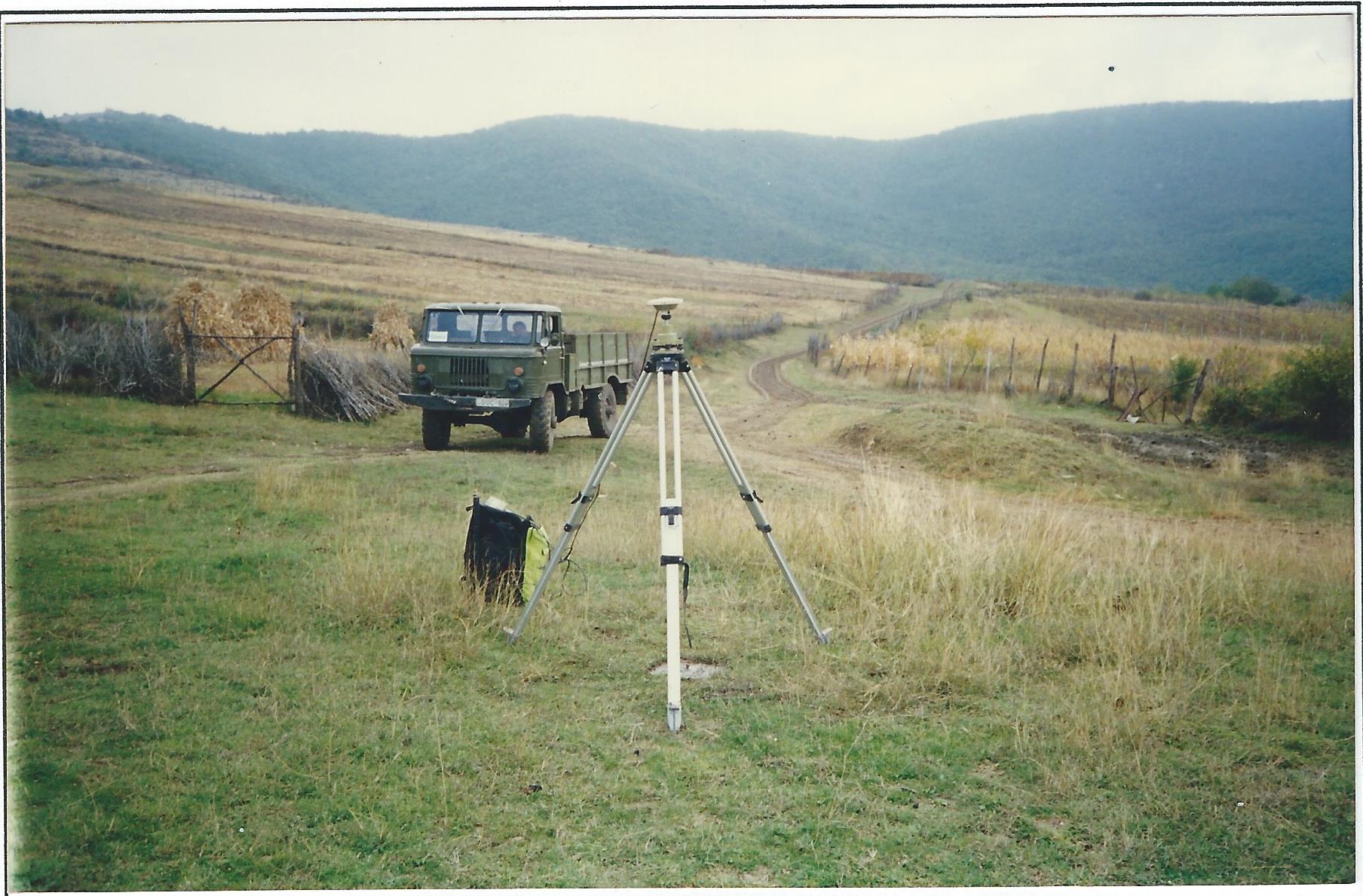
The GPS equipment used by Loy Surveys progressed from the Wild/ Leica System 200 to 300 and in 1999 the system 500, for any long term use then car batteries were the best option for the base station and you generally carried one or two of the big heavy GEB71 batteries. In GPS surveying techniques developed from Static, Rapid Static and Stop-Go solutions through to Real Time Kinematic although you still had to derive your own site transformation in the UK onto the OS National Grid and develop your own geoidal model.
Geodimeter introduced the system 600 series of electronic total stations where the data recording was achieved using a detachable key pad which the surveyor could attach to his arm and code and record the observations remote from the instrument. This period saw me make trips to Boston USA, Portugal and Georgia which was an education as the Soviets hadn’t long pulled out from the country. Shops were just a few items placed on small tables at the side of the road. While the butcher’s shop was a tree with animal body parts tied to the branches. Flies were discouraged using bunches of twigs and leaves. No need for sell by dates then.
2000’s
The new millennium saw the last of Concord, the Iraq and Afghanistan wars, Nelson Mandela installed as South African president with the end of apartheid and the World Trade Centre attacks. The Prime Ministers were Tony Blair and Gordon Brown and Scotland missed out completely in the World Cup, more tales of woe, nuff said.
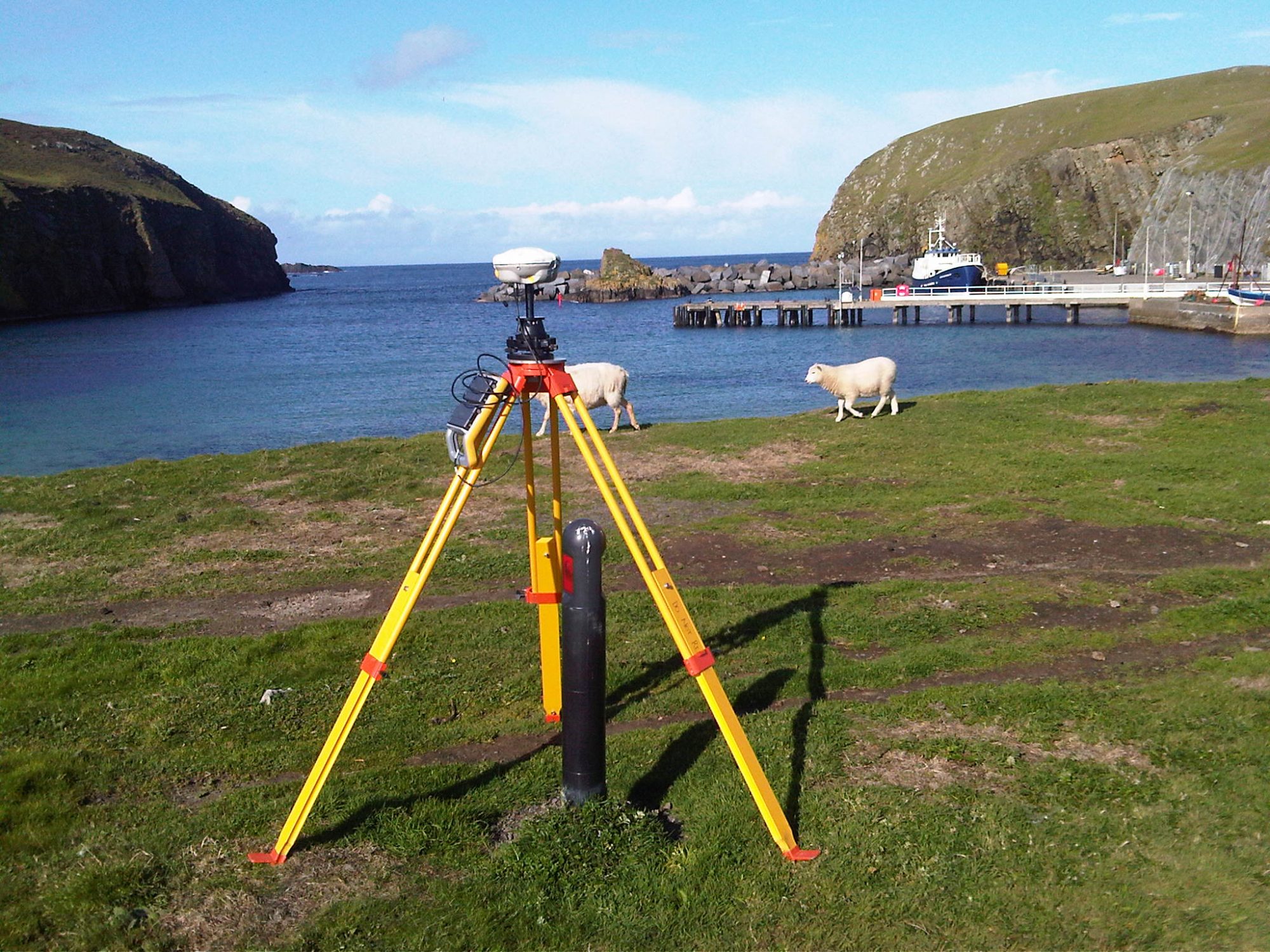
Technology saw the first smartphone, iPod, memory stick, bluetooth in widespread use and gps in cars. In this decade Loy surveys moved onto the Trimble R8 GNSS system which used both GPS and GLONASS satellites. The Ordnance Survey introduced their OSTN02 transformation and OSGM02 geoidal model. These could be loaded onto the data recorders such as the Trimble TSC2 which recorded both gps and total station observations. Prior to then there were separate controllers for gps and electronic theodolite. Batteries were also smaller and a similar size to those used today.

On the theodolite front lone working was the order of the day with a true robotic instrument. Initially we had the Trimble 5600 where the controller was still a detachable keypad which was placed in a cradle which in turn was attached to a survey pole. The instrument locked onto a rectangular target with a single diode. The target diode had to be turned continuously to face the instrument to ensure tracking. This was later replaced by a 360 degree prism with multiple diodes.
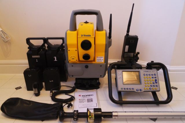
By the end of the decade the Trimble S6 and TSC2 survey controller were introduced to replace the Trimble 5600. Also any inshore hydrographic surveys could now be done with either a robotic theodolite or gps tracking the survey boat and these linking through bluetooth with a small portable sounder such as the sonarlite, although I must admit I still liked the old Raytheon sounder.
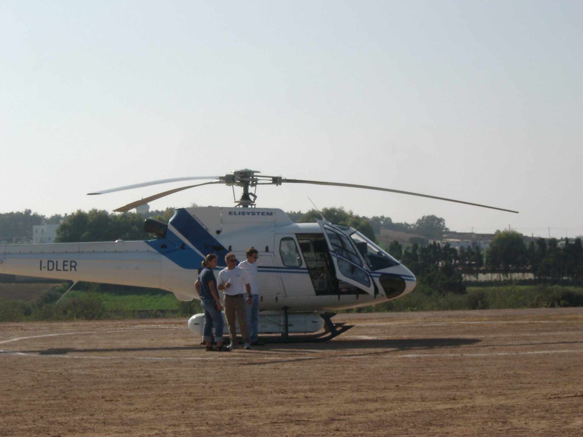
Lidar was also starting to be used widely and proved to be the ideal tool in a survey I did in Morocco, where using a helicopter equipped with LIDAR we mapped a large area for a future golf course and casino resort using only 1 surveyor and assistant, a helicopter crew and a LIDAR crew. The completed development can now be seen on Google Earth and looks pretty impressive as well as expensive. As well as Morocco I also fitted in trips to Cyprus, Ghana, Tanzania and Zanzibar. The proposed airport I surveyed in Mbeya, Tanzania is also now visible on Google Earth. It is always nice to see completed projects in which you have been involved.

Mbeya Airport on Google Maps
2010’s
In this decade we have had the development of survey scanners, drones and possibly in the not too distant future the European Galileo satellite system. All these have had and will have a significant impact on surveying in the future.

A9 Surveying in the Snow
Summing up surveying and surveying instruments over the last 40 years is a relentless story of technological development from recording using pencil and paper and observing using optical instruments manually through to the observations read and recorded electronically and using the internet to output the survey globally. The change in the profession I entered all these years ago is breathtaking but it is also challenging for the surveyors of the future for with the development of automatic instruments the whole surveying process has been deskilled. However new skills have had to be learned and it is with this continuous development that surveying still continues to be a wonderful career.
Manda, Kenya
Maybe the places where you now work are less adventurous than in the past which is probably a down side. Although I am not too sure if you would be made to feel as welcome in some of the places I worked. The survey community is not a large body but certainly wherever you are in the world there is always a bond with fellow surveyors. However, it is time for this surveyor to let the younger generation get on with the challenges ahead and as they say ‘An old surveyor never retires he just loses the plot.’
With thanks to William Montgomery.