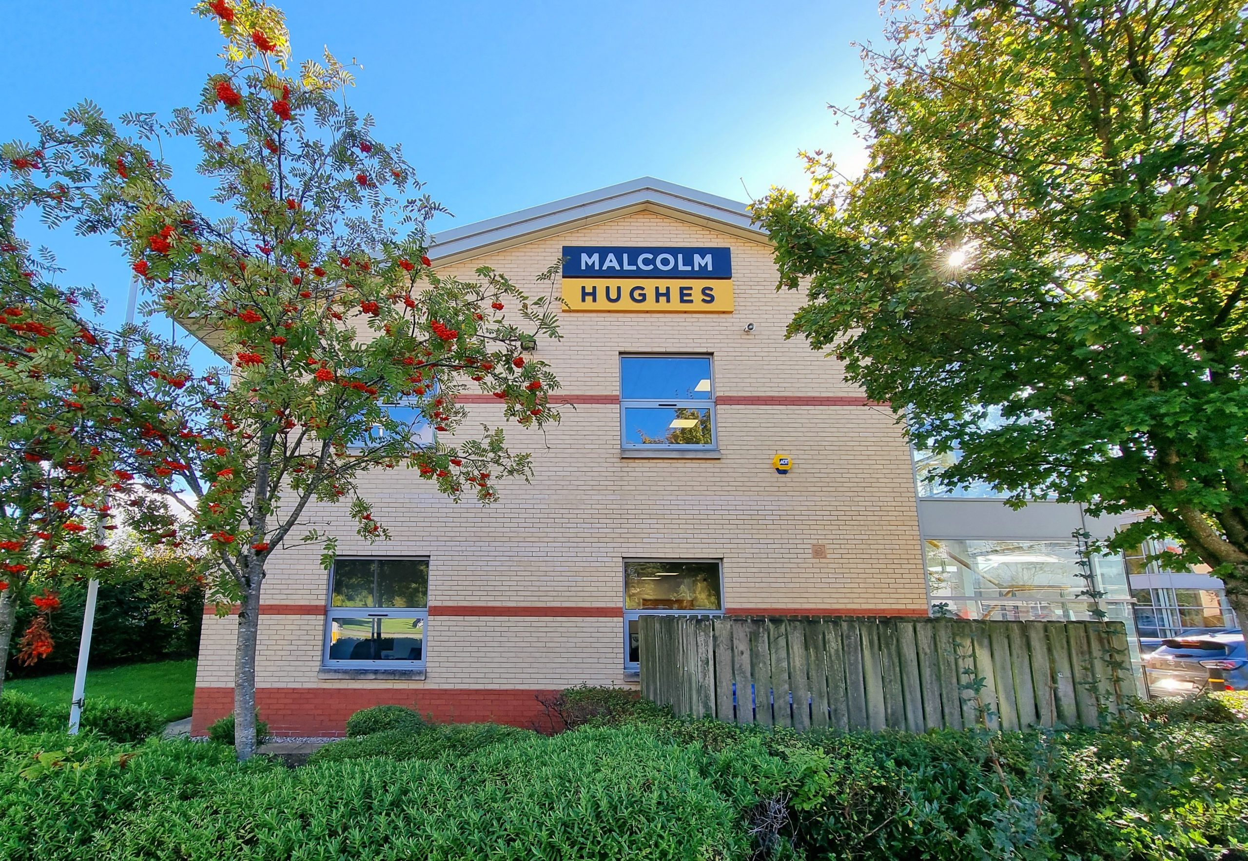
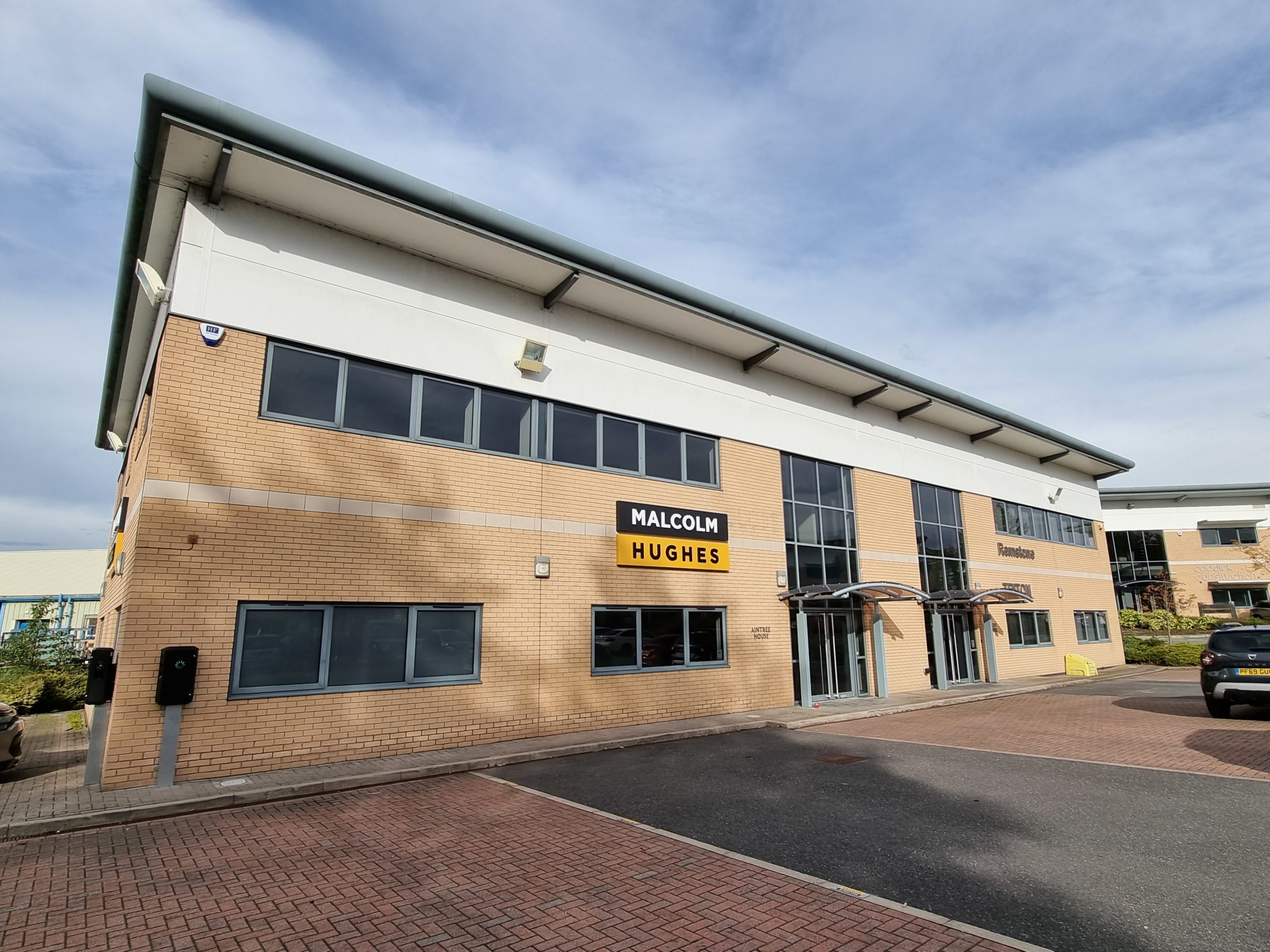
Ground Penetrating Radar survey of Inverness Castle

2021-01-18T09:24:16+00:00December 5th, 2019|Uncategorized|

Last month, Malcolm Hughes was instructed to carry out a detailed Ground Penetrating Radar survey of Inverness Castle to detect rabbit burrows. Due to the shape of the survey area, scans were logged with GNSS to provide accurate geo-positioning. Radar is an excellent method of detecting subsurface anomalies.  The burrows themselves

Malcolm Hughes carried out Heysham docks scans

2021-01-18T09:24:21+00:00November 27th, 2019|Uncategorized|

Detailed GPR scans being carried out at Heysham docks as part of an investigation to establish the locations and depths of potable water on site.  As the pipe materials were solely non-conductive and the ground conditions were varying, GPR was the ideal detection technique for this task.  Water mains offer

Dudley Road; PAS128 M4(P) Utility Mapping Survey using the Stream C GPR system

2021-01-18T09:25:06+00:00February 8th, 2019|Uncategorized|

Malcolm Hughes is currently undertaking a complex PAS128 utility mapping survey of Dudley Road, Birmingham. This project involves 2 kilometres of detailed utility survey work along one of Birmingham’s major roads into the city. The specification for this survey; PAS128 M4(P) involves the highest level of Survey Type B Methodology

Go to Top